Terrestrial 3D laser scanning enables the direct extraction of highly accurate 2D or 3D topographic information from captured point clouds. These datasets can be delivered in multiple formats—ranging from 2D topographic drawings to detailed 3D topographic terrain models—ensuring they meet both the specific needs of a project and the client’s data requirements. In addition, this topographic information can be seamlessly integrated into as-built BIM and plant design models, providing an extra layer of accurate, as-built detail.
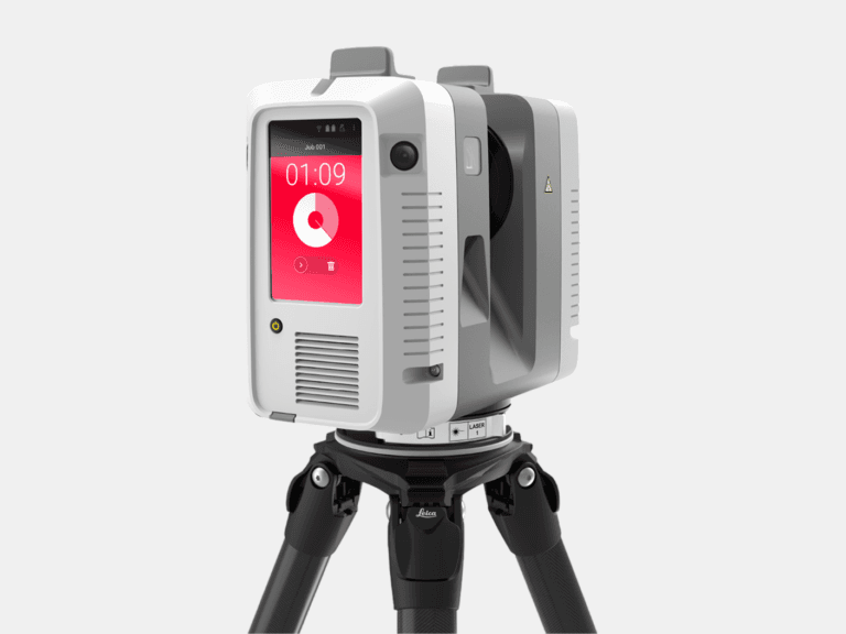
Achieving an accuracy of approximately 2 mm, terrestrial 3D laser scanning far outperforms alternative methods like drone-based LiDAR or photogrammetry, which typically maintain accuracies around 5 cm. Terrestrial 3D laser scanning captures the smallest deviations in surface topography—detail that is often unattainable with aerial surveying approaches. Such high-fidelity data are critical for both urban and rural development, offering insights into elevation that are essential for planning, construction, and ongoing site monitoring. Whether the focus is on designing complex infrastructure or tracking subtle environmental changes, the unmatched precision provided by terrestrial 3D laser scanning delivers a robust and reliable foundation for any project.
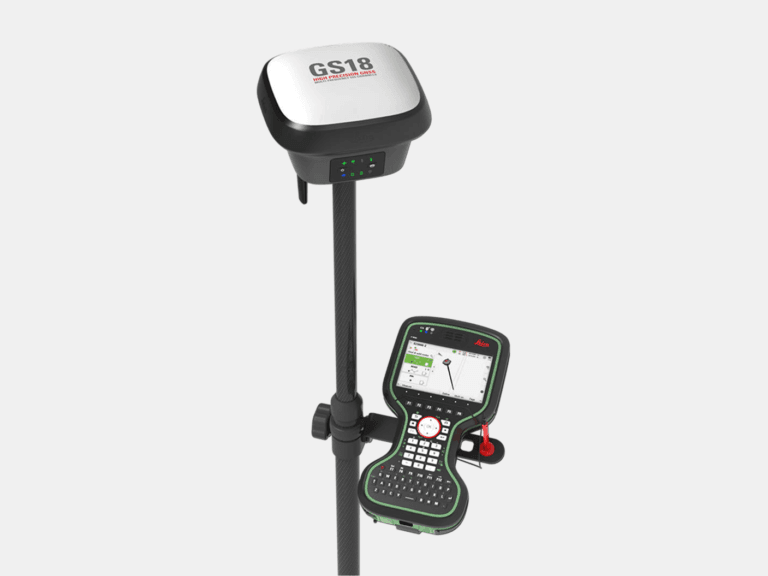
For georeferencing, we use GNSS RTK rovers to collect highly precise geographic coordinates of control points—such as reference sphere targets. These coordinates allow us to accurately georeference a broad range of 3D data, including point clouds, 3D mesh models, 3D CAD models, BIM models, plant design models, 2D CAD documentation, topographic mapping, and GPR underground mapping data. By georeferencing these data sets from local coordinates to a true geographic coordinate system—commonly WGS 84 or another system specified by the client—we establish essential geospatial alignment. This alignment enables seamless integration with geographic information systems (GIS), facilitates enhanced monitoring and change detection, streamlines planning and maintenance, and provides vital spatial context for virtually any project.