Our Equipment
From terrestrial 3D laser scanners to laser tracker CMMs — explore our extensive list of equipment.
From terrestrial 3D laser scanners to laser tracker CMMs — explore our extensive list of equipment.
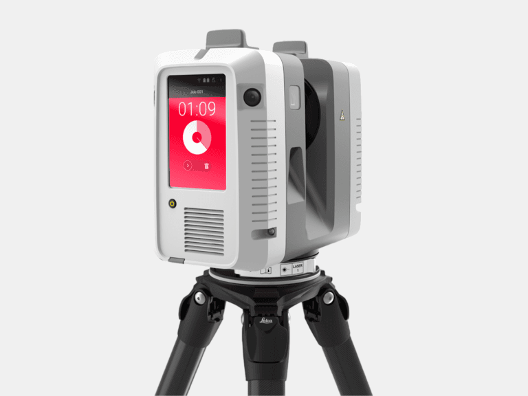
With a range of 0.5-130 m and a 3D accuracy of 1.9 mm @ 10 m, the Leica RTC360 captures high-accuracy terrestrial 3D laser scans of medium to large assets.
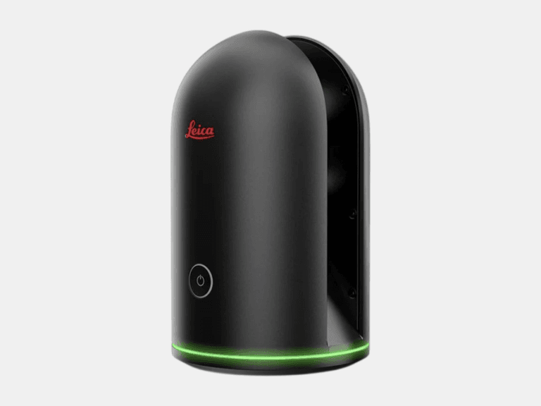
With a range of 0.6-60 m and a 3D accuracy of 4 mm @ 10 m, the Leica BLK360 is ideal for 3D laser scanning in tight, space-constrained areas on small to medium assets.
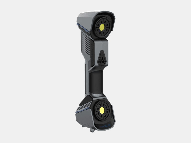
With a 3D accuracy up to 0.02 mm, the FreeScan UE Pro is a metrology-grade handheld 3D laser scanner for high-detail 3D laser scanning of small to medium objects.
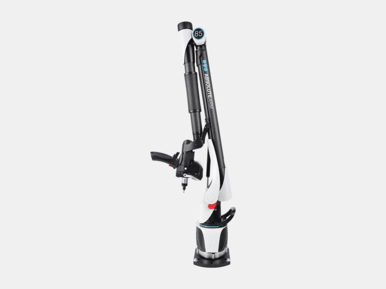
With a 3D accuracy up to 0.013 mm for the AS1 3D laser scanner, the Absolute Arm 7-Axis combines probing and 3D laser scanning for precision measurement of small to medium objects.
With a range of 0.8-160 m and a probing accuracy up to 0.015 mm, the AT500 is used to probe small to large objects for precision inspection, alignment, and verification.
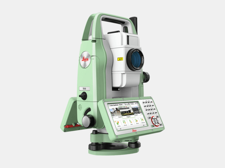
With an angular accuracy of 1″, a distance accuracy up to 1 mm, and a range of 0.9-3,500 m, the TS10 establishes survey control that enables the most accurate terrestrial 3D laser scan registration possible.
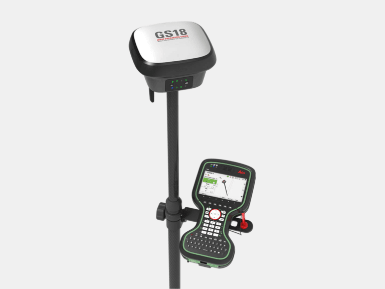
With an accuracy up to 8 mm and tilt compensation, the GS18 T quickly georeferences data into your required coordinate system for consistent field-to-office alignment.
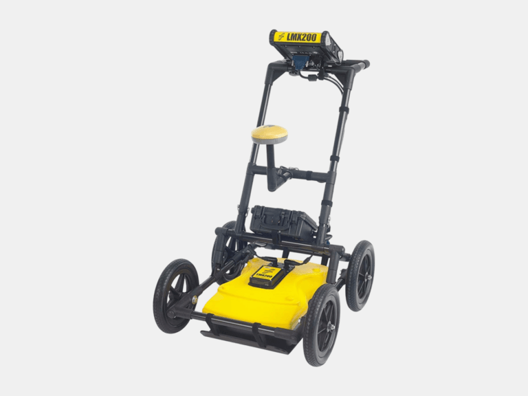
With an ultra-wideband 250 MHz GPR antenna and a depth penetration up to 8 m, the LMX200 maps buried utilities, including metallic and non-metallic pipes, for confident subsurface awareness.
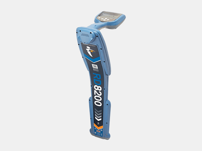
With a depth measurement accuracy of ±3%, a locate accuracy of ±5%, and a depth readout up to 30 m, the RD8200 pinpoints underground cables and pipes with high confidence.
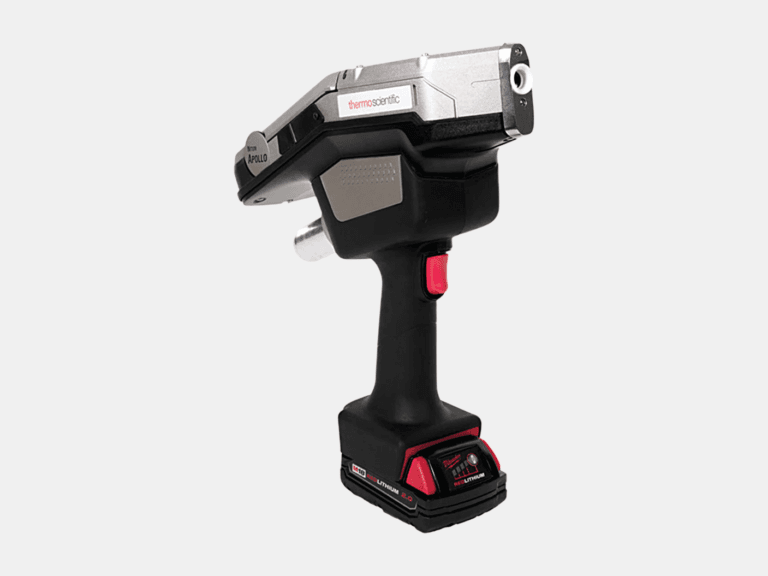
Using a handheld LIBS analyzer, the Niton Apollo detects C, Al, Si, Ti, V, Cr, Mn, Co, Ni, Cu, Nb, Mo, and W on-site to differentiate steel grades beyond XRF.
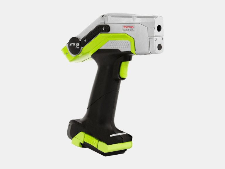
Using a handheld XRF analyzer, the Niton XL5 Plus identifies and quantifies elements from Mg to U on-site for rapid alloy identification and PMI.
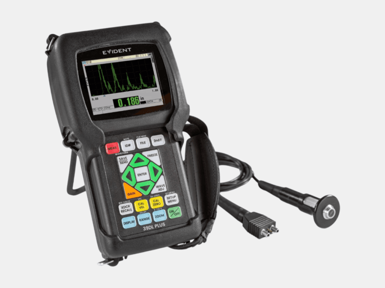
With a thickness range of 0.08-635 mm and multilayer capability to measure up to four individual layers, the 39DL PLUS delivers reliable ultrasonic thickness measurements.