SURVEYS
volumetric surveys with 3D laser scanning—ideal for storage
tanks, ship ballast & fuel tanks, and material stockpiles.
SURVEYS
volumetric surveys with 3D laser scanning—ideal for storage
tanks, ship ballast & fuel tanks, and material stockpiles.
SURVEYS
volumetric surveys with 3D laser scanning—ideal for storage
tanks, ship ballast & fuel tanks, and material stockpiles.
Volume Surveys
Fast Volume Surveys for Storage Tanks & Stockpiles
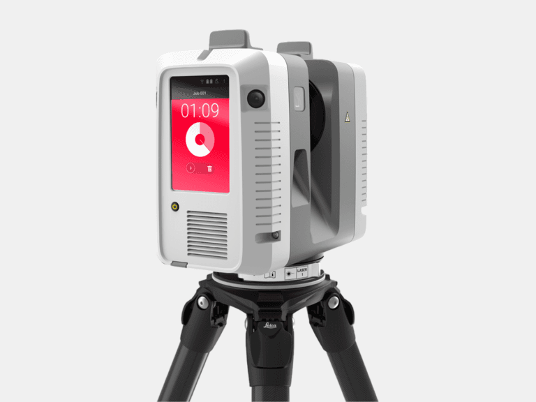
3D laser scanning enables accurate volumetric surveys to be conducted in a fraction of the time required by traditional methods, drastically reducing both costs and operational downtime. By capturing millions of data points per second, 3D laser scanners generate a dense point cloud that can be converted into an accurate 3D mesh model. From this 3D mesh model, volumes can be calculated with unparalleled precision, minimizing errors and improving overall reliability. Common applications include volume calibrations of above-ground and underground storage tanks, stockpiles, terrain, and the determination and verification of equipment volumes (such as ballast and fuel tanks). The combination of speed, accuracy, and versatility makes 3D laser scanning an indispensable tool for projects of any size requiring precise volumetric measurements.
Our Equipment
Equipment We Use for Volume Surveys
TERRESTRIAL 3D LASER SCANNER
With a range of 0.5-130 m and a 3D accuracy of 1.9 mm @ 10 m, the Leica RTC360 captures high-accuracy terrestrial 3D laser scans of medium to large assets.
TERRESTRIAL 3D LASER SCANNER
With a range of 0.6-60 m and a 3D accuracy of 4 mm @ 10 m, the Leica BLK360 is ideal for 3D laser scanning in tight, space-constrained areas on small to medium assets.
HANDHELD 3D LASER SCANNER
With a 3D accuracy up to 0.02 mm, the FreeScan UE Pro is a metrology-grade handheld 3D laser scanner for high-detail 3D laser scanning of small to medium objects.
MEASURING ARM CMM
With a 3D accuracy up to 0.013 mm for the AS1 3D laser scanner, the Absolute Arm 7-Axis combines probing and 3D laser scanning for precision measurement of small to medium objects.
LASER TRACKER CMM
With a range of 0.8-160 m and a probing accuracy up to 0.015 mm, the AT500 is used to probe small to large objects for precision inspection, alignment, and verification.
TOTAL STATION
With an angular accuracy of 1″, a distance accuracy up to 1 mm, and a range of 0.9-3,500 m, the TS10 establishes survey control that enables the most accurate terrestrial 3D laser scan registration possible.
RTK GNSS ROVER
With an accuracy up to 8 mm and tilt compensation, the GS18 T quickly georeferences data into your required coordinate system for consistent field-to-office alignment.
ULTRASONIC THICKNESS GAUGE
With a thickness range of 0.08-635 mm and multilayer capability to measure up to four individual layers, the 39DL PLUS delivers reliable ultrasonic thickness measurements.
Common Applications
Where Volume Surveys Deliver Value
As-Built Deliverables
Sample Inspection Reports
Stockpile
Stockpile Volume Report
- 3D Inspection
- 2D Perimeter
- 2D Area
- Volume from Elevation
Aboveground Storage Tank
Volume Calibration Report
- Milimeter Accuracy
- Internal Volume Correction
- 3D Inspection
- Volume from Elevation
Underground Storage Tank
Volume Calibration Report
- Milimeter Accuracy
- Internal Volume Correction
- 3D Inspection
- Volume from Elevation
